Universal Navigator
 Aero Sampler CD
 Digital Aviator
 Digital Earth
 FalconView Add-In's
 TerrAvoid
 Application Development
 Data Processing
 Data Distribution
 Subscription Services
 Military Services
 ARINC Supplements
 IFR Nav Data
 Obstacles
 Terminal Procedures
 Terrain
 VFR Charts
 Satellite Imagery
 SRTM Imagery
 World Shoreline
 Political Boundaries
 Place Names
 National Parks
 Land Water Identifier
SRTM Imagery

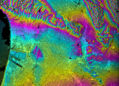
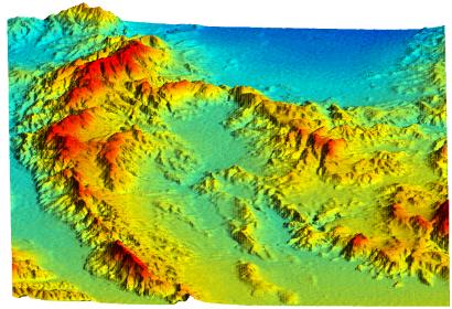
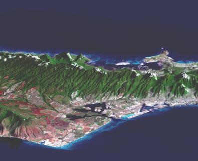
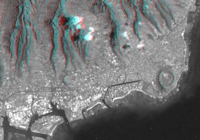
Overview | SAMPLES: Los Angeles Basin Interferogram | Simi Valley, CA Perspective | Oahu, HI Perspective | Honolulu, HI Anaglyph
 

Overview
The Shuttle Radar Topography Mission (SRTM), which flew on the NASA Shuttle Endeavor in February of 2000, collected a spectrum of data using its C-Band Interferometric Synthetic Aperture Radar (IFSAR). The base resolution after processing these radar returns is better than 30 meters. Ground data processing being performed at JPL will convert the radar holograms into digital elevation models for use by terrain applications. In addition, the amplitude backscatter patterns reveal a rich and colorful world of 2 and 3 dimensional pictures.

Take a look at some sample composites - all generated from SRTM data:

Los Angeles Basin Interferogram (below)

Simi Valley, CA Perspective (below)

Oahu, HI Perspective (below)

Honolulu, HI Anaglyph (below)
NOTE: You need 3-D glasses to see this stunning effect with the red lens over your left eye and the blue lens over you right.

For more information on the availability of these and other datasets, please contact us by telephone or email.

   
Copyright © 1993-2024 Position Integrity, LLC